
Montgomery County Neighbors Sources
Public sources around one address have distinct functions. The Auditor GIS gives the block's parcel setting. MCRealEstate gives a selected parcel's owner, mailing, situs, and tax context. RISS supplies the instrument trail behind that parcel. Voter tools deal with an individual's registration and precinct, not an open block roster. Dayton's organization directory and Community Engagement material identify public groups and city contacts, while historic criss-cross volumes can offer dated address evidence when a library holds the relevant edition.
| Source | What It Shows About a Block | Access |
|---|---|---|
| Auditor GIS | Nearby parcels, address-grid context, plats, annexations, and neighborhood layers | Address or street search, Identify, and Spatial Select tools. |
| MCRealEstate | Owner, mailing and situs information, parcel details, tax, and sale/deed references | Public read-only search for individual selected parcels. |
| Recorder RISS | Recorded parties and deed or instrument trail linked to legal descriptions | Guest index search, Recorder terminals, and copy channels. |
| Ohio voter tools | An individual's registration, precinct, and polling-place information | Exact-name lookup; not an open list of neighbors. |
| Dayton organization resources | Public association and city-engagement contacts | Organization directory and Community Engagement access, not membership lists. |
| Dayton Room collections | Historic address-to-name clues for available editions | Library and counter research; verify the volume and year. |
These sources distinguish a mapped parcel, a record owner, an official contact, and a dated historical listing. None proves that every person connected with a nearby address is publicly identified. Keep conclusions within the record type, especially when a parcel's mailing address differs from its physical location.
Map Montgomery County Neighbors
The Auditor Interactive GIS Map is the geographic starting point for a small block question. It has Address and Street/Intersection search, result selection, Identify, a measurement tool, and Spatial Select. The map also includes useful orientation layers such as Address Number Grid, neighborhood boundaries, annexations, recorded plats, tax districts, and voting geography. Those layers explain place and jurisdiction. They do not produce a roster of people.
The Auditor GIS parcel-map service is the source behind the local spatial record layers.
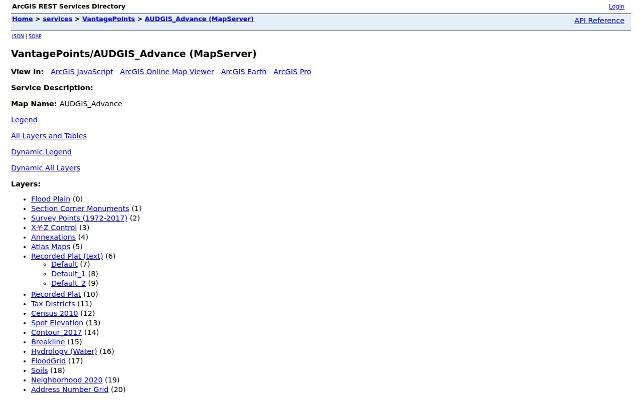
The service view supports the parcel context used for a careful Montgomery County neighbors search. The Auditor cautions that map information is not warranted error-free, so use the map to locate and compare parcels, then verify details with the records custodian.
- Use Address or Street/Intersection Search to find the known location. Select the result and identify its parcel.
- Use a small Spatial Select buffer in feet or miles, or browse the immediate surrounding parcels. A small buffer keeps the question tied to the nearby block.
- Record the parcel identifiers and open each candidate individually in MCRealEstate. Preserve the legal description and any deed reference before changing sources.
- Move selected parcels to RISS for the recorded-instrument trail. For a full named-street chain, use the Montgomery County street directory rather than expanding a block exercise into a streetwide claim.
Insider tip. A small Spatial Select buffer gives a manageable set of parcels for verification. The buffer returns mapped features, not a resident list.
Montgomery County Neighbor Parcel Checks
After the map identifies a parcel, open MCRealEstate to check the owner, mailing address, parcel location, legal description, tax fields, and most-recent-sale deed reference. The Auditor's walkthrough says the summary presents ownership and mailing information, and identifies the most-recent sale's buyer as the current owner. A mailing address can differ from the parcel location. That is useful correspondence context, but it does not establish why the addresses differ.
Next, use Recorder RISS to trace an instrument through party names, dates, document types, or legal-description paths. RISS offers By Name, By Type, By Municipality, By Subdivision, By STR, By Instrument, By Book/Page, By Fiche, By Pre 1980, and By Date routes. A legal description, such as a lot and subdivision or township-section-range description, remains the stable land key when a street number is unclear.
Myth: A parcel owner or tax-mailing entry identifies all neighbors at an address. It does not. It documents an ownership or tax-mailing relationship for that parcel. A matching location also does not identify every member of a household. Keep the parcel record separate from any claim about who is present day to day.
Montgomery County Neighbor Association Contacts
Dayton's official Resource Directory supports category and name searches for organizations. It provides public organization contacts, not a membership roll. The following examples are currently surfaced by the City's directory and offer a practical community layer for people who want to learn which local groups exist around a Montgomery County address.
The City of Dayton Resource Directory is the source for these neighborhood organization contacts.
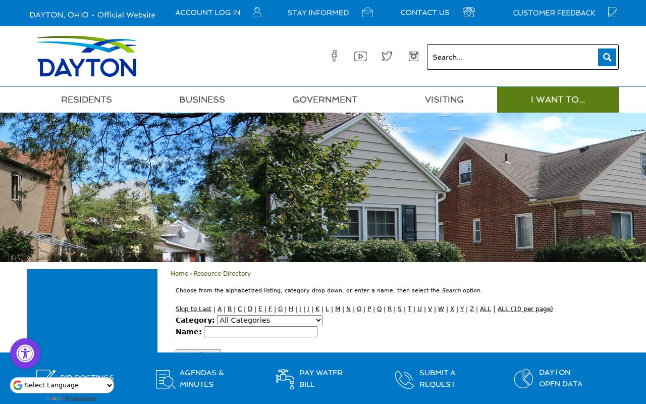
Directory listings give a path to public group contacts. They do not disclose a group's internal records or establish that a named person belongs to an organization.
| Directory examples | Public access described by the City |
|---|---|
| Arlington Heights Neighborhood Association; Bartley Road Neighborhood Association | Search by organization name in the Resource Directory. |
| Belmont Business Association; Belmont/Eastmont/Hearthstone Community Council | Public organization-contact entries, not member records. |
| Burkhardt/Springfield Community Association; Carillon Civic Council | Use the directory's category or name search for current contact details. |
| College Hill Neighborhood Association; Cornell Heights Neighborhood Association | Contact availability is determined by the current City listing. |
| Dayton View Historic Association; Dayton View Triangle Federation | Public group contacts can help identify the relevant neighborhood conversation. |
Montgomery County Community Engagement
Neighborhood connections are not limited to an association listing. The City's Community Engagement program lists neighborhood clusters and staff support, which can help someone find the public channel for a local issue or community event. The program is not a substitute for a parcel record or a list of people living nearby. It is the city-facing path for understanding how a neighborhood is organized and where civic contacts may be available.
Dayton Community Engagement provides the City's neighborhood-cluster and staff-support information.
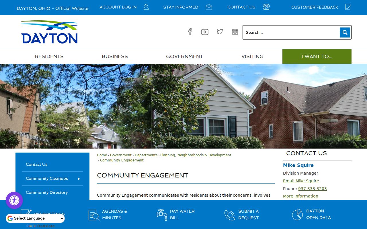
Use this route for public community participation and questions about city support. A neighborhood watch or other group may hold its own internal materials, but an internal household map does not become public merely because the group exists.
Ohio Voter Limits for Neighbors
Ohio My Voter Information requires first name, last name, and county, then returns registration, precinct, and polling-place information for a match. It is not built for browsing a block. The Montgomery County Board of Elections voter hub provides a local route for registration questions, sample ballots, polling places, and corrections. The county's report generator can produce certain public election reports, but a public election record is still not proof of all people at an address.
R.C. 3503.13 excludes Social Security numbers, driver-license and state-ID numbers, phone and email information, confidential records, protected public-service-worker addresses, proof of citizenship, and other protected data. Ohio Safe at Home participants have confidential registration under R.C. 111.44, so their name, address, and precinct do not appear in public statewide data or public official lists. Do not infer party registration or ballot choices from participation information.
Historic Montgomery County Neighbors
For an earlier block, the Dayton Room's Haines City & Suburban Criss-cross Directory is the local address-to-name route, but the public catalog describes it as in-library use. A historical entry needs its edition and year. Pair it with a deed, tax record, map, census source, obituary citation, or Probate trail before concluding that it identifies the right household. A current map cannot fill a gap in a dated source.
Dayton's early address geography can make this work more complex. The Daniel C. Cooper plat of 1803 and replat of 1809 mean an early clue may be a lot, cross street, ward, or non-numbered description instead of a current street number. The GIS Address Number Grid, annexations, and recorded plats can help orient the location, but the tract index or legal description may be the better historical link.
Montgomery County Neighbor Records Compared
Official records and commercial neighbor compilations serve different purposes. An official map, property record, deed index, or election tool identifies its custodian and its limited record type. A commercial compilation may combine older addresses and various data sources, but it does not certify the underlying facts. Treat any compiled result as a lead, then confirm it with the office that keeps the original record.
| Official record route | Commercial compilation category | Careful use |
|---|---|---|
| Auditor GIS and MCRealEstate | May combine address and owner data from different dates | Verify a selected parcel, owner, or mailing relationship with the Auditor. |
| Recorder RISS | May summarize recorded documents without the full context | Check names, dates, legal description, and the actual instrument trail. |
| Ohio voter tools | May present stale or incomplete election-related data | Use the official exact-name system and respect confidential records. |
Montgomery County Neighbor Privacy
Ohio Safe at Home supplies a substitute address for qualifying survivors through certified Application Assistants and can protect voter and real-property information after the required steps. R.C. 111.431 protects certain real-property identifying links, while R.C. 149.43 treats Safe at Home identifiers as public-record exemptions. Missing or redacted information may be an intentional safety protection, not an error to work around.
Ohio Safe at Home explains the address-confidentiality program and its certified Application Assistant process.
The program image underscores why an absent address, property link, or voter entry can be a deliberate safety protection rather than a gap to overcome.
Lawful use. Use Montgomery County neighbors research for personal, lawful curiosity, civic participation, reconnecting, or property questions. Never use records to stalk, harass, intimidate, or harm another person. Ohio's menacing-by-stalking and telecommunications-harassment laws apply to harmful conduct.
Utility and delivery data are not a public block resource, and a public record does not authorize targeting someone. Ask the actual custodian how to correct a record it maintains. If a commercial publisher has a wrong entry, use that publisher's identity-verification and correction process, but do not treat it as a replacement for the official source.