
Montgomery County ZIP Code Coverage
Montgomery County has a broad planning ZIP footprint, but the research did not locate a USPS source that assigns a precise carrier area, post office, or population to every entry. The table therefore records only what the county planning list and the Ohio county-by-ZIP report establish. It is a postal reference, not an address-level delivery claim.
| ZIP | Areas Covered | Post Office | Notes |
|---|---|---|---|
| 45377 | Listed in the county planning footprint | Verify by exact address with USPS | Ohio's county-by-ZIP report marks it as crossing county boundaries. |
| 45424 | Listed in the county planning footprint | Verify by exact address with USPS | Ohio's county-by-ZIP report marks it as crossing county boundaries. |
| 45440 | Listed in the county planning footprint | Verify by exact address with USPS | Ohio's county-by-ZIP report marks it as crossing county boundaries. |
| 45402-45406 and 45409-45410 | Dayton-area entries in the planning list | Not individually verified in collected research | Planning coverage, not proof of a conventional delivery or occupant ZIP. |
| 45005, 45042, 45066, 45309-45345 | Other entries shown on the broad planning map | Not individually verified in collected research | Use USPS and the address itself before a record search. |
The planning map also names 45412, 45414-45417, 45419-45424, 45426, 45429-45432, 45434-45442, 45444, 45446, 45448-45449, 45451-45460, and 45469. Some may be PO-box, unique, institutional, government, or other nonstandard codes. Do not turn this broad list into a claim that a specific person or property is within Montgomery County.
Verify Montgomery County ZIPs
A ZIP is a postal delivery construct. The reliable order is to verify the exact street address through USPS, then move into local parcel and map records. USPS is the delivery authority for the address, while county tools explain the tax parcel and local jurisdiction. A result should be saved with the street number, street spelling, city line, and ZIP because one of those details can differ in a later record system.
The USPS address lookup shown below is the source for individual-address verification.
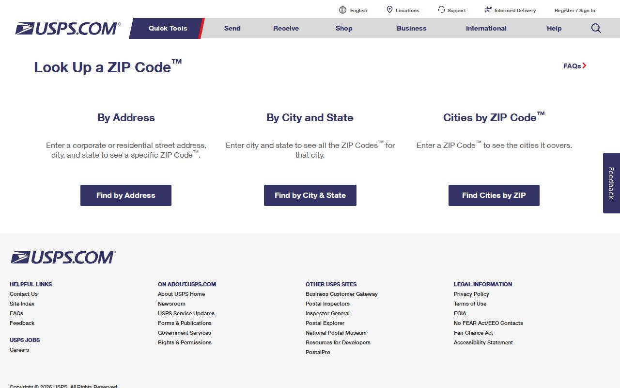
Use the returned ZIP as a delivery detail, then check the parcel location through the Auditor. The sequence avoids using an online list as if it were a full ZIP-wide roster.
- Enter the complete address in USPS and retain the ZIP returned for that location.
- Search the address in MCRealEstate without assuming the ZIP is a search field.
- Confirm the parcel's situs address, legal description, and jurisdiction with the Auditor and GIS.
- Use the Recorder's instrument routes only after a deed reference, legal description, or party name is established.
Note: USPS verifies delivery addressing, while the county custodian verifies parcel, tax, and recorded-document details.
Montgomery County ZIP Planning Footprint
The county planning list is broad by design. It places ZIPs from 45005 through the 454xx range around the county's service footprint, but it does not classify each code by carrier delivery, post office, institutional status, or exact boundary. That makes it useful for spotting a possible Montgomery County connection, not for deciding where a particular address belongs.
For a local record search, use the planning list as a first screen only. A code can serve an area beyond the county, and some listed codes may not represent ordinary delivery addresses. Confirm the address with USPS, then use county mapping and the parcel record. The county's broad list should never be treated as a residential proof or a complete list of current people.
Note: Planning ZIP coverage helps frame a search area, but it cannot replace the address-specific postal and parcel checks.
Cross-County Montgomery County ZIPs
The Ohio Department of Taxation county-by-ZIP report marks 45377, 45424, and 45440 as codes that cross county boundaries. That is a practical boundary warning. A Dayton-area ZIP does not by itself prove that a property lies in Montgomery County, inside a particular municipality, or within one voting district.
The Census also explains why broad ZIP maps need care: ZCTAs are statistical approximations built from Census blocks, not USPS boundaries. The Census ZCTA guidance pictured below provides the distinction behind that limit.
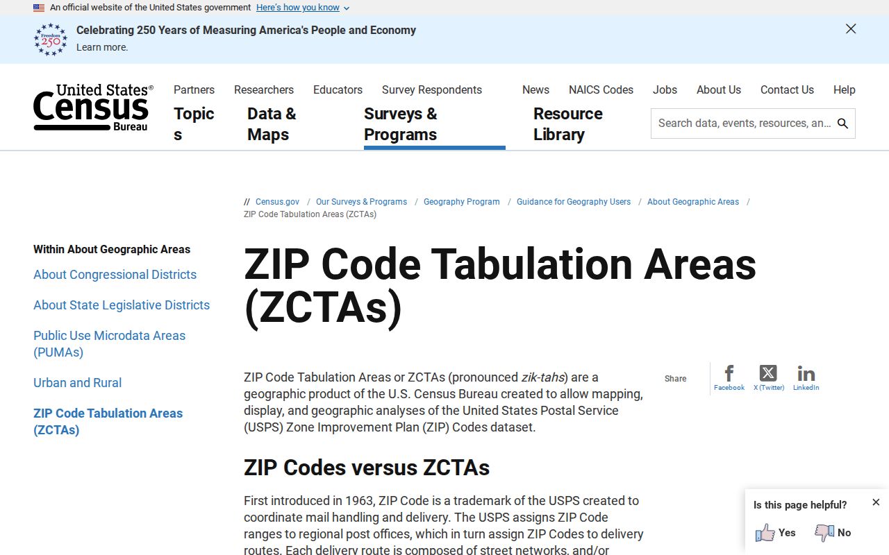
A ZCTA can be useful for a broad statistical view. For an address-level result, use USPS and the relevant local custodian instead.
ZIP Filters in Montgomery County
Myth: A ZIP does not create a verified parcel or person filter in every county system. The inspected MCRealEstate advanced criteria include Street Name, Street Suffix, Neighborhood, Sales Date and Price, property characteristics, and parcel data. No verified ZIP filter appeared in the captured interface. A search should say that plainly rather than inventing a ZIP-wide output.
The same restraint applies to the Auditor GIS. It maps address and parcel features, but the research documented address and parcel tools, not a ZIP-based resident search. Use a verified address to enter the local system, then use street, parcel, neighborhood, plat, annexation, and legal-description information to narrow the record trail.
The Montgomery County GIS information page leads to the county map tools used for that second step.
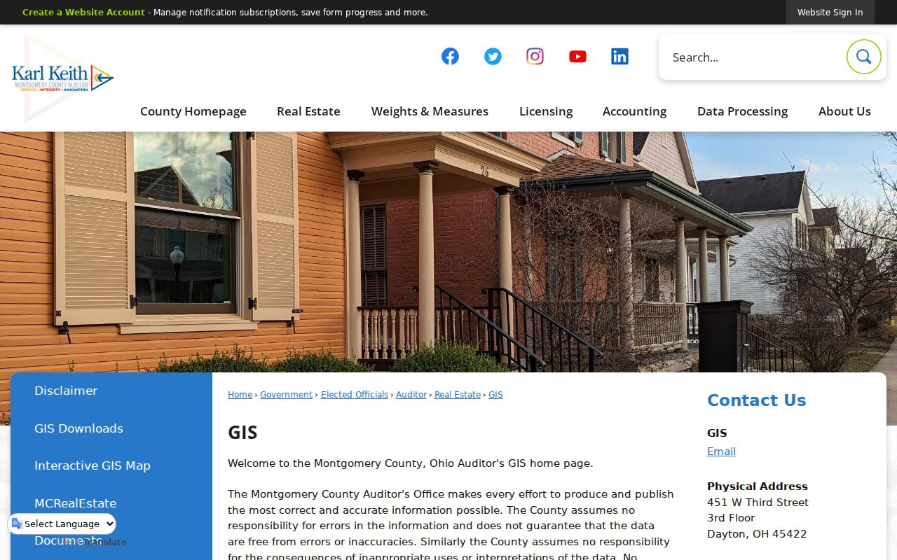
The GIS route supplies local map context after address verification. It does not turn a ZIP into a list of people.
Montgomery County ZIP-to-Parcel Search
Once USPS has confirmed a ZIP, the next question is whether the physical address matches a Montgomery County parcel. Search MCRealEstate by address using the number and street name, without street direction or suffix. The property summary can show the situs address, mailing address, parcel ID, owner information, current sale information, and an available deed reference.
Keep the mailing and situs fields separate. The situs is the physical parcel location; the mailing address is where tax correspondence goes. A legal description, such as a lot, block, subdivision, or township-section-range description, is the title key that carries the search from an address to the Recorder. In unincorporated parts of Montgomery County, the township, section, and range can be the important connection.
For an earlier property trail, the Montgomery County Records Center and Archives reports historic tax duplicates from 1803 through 1983. That archival channel helps when the portal's visible tax controls do not reach the target year. It remains property context, not a ZIP-based resident result.
When a ZIP narrows the area to a specific road, use the Montgomery County street directory for the address-to-parcel, deed, GIS, and historic criss-cross sequence. That method is more precise than treating a ZIP as an ownership or household result.
Montgomery County ZIP Voting Limits
A ZIP code is not a voting precinct. Ohio Secretary of State My Voter Information requires first name, last name, and county, then returns registration, precinct, and polling-place information for a match. The live tool also presents a street-name selection after search to narrow results. That is an exact-name registration route, not an open ZIP roster.
Montgomery County's Board of Elections has a voter report generator with public-record controls, including Walking List sorting by voter address, geographic controls, and mailing-address options. Its documented use still carries statutory exclusions. Ohio law protects items such as Social Security numbers, driver-license or state-ID numbers, phone and email data, confidential records, and qualifying Safe at Home information.
Note: A postal boundary and a voting boundary answer different questions, so verify precinct information with the election custodian.
Montgomery County ZIP Terms
Postal words and county land-record words overlap around an address but do not mean the same thing. These definitions keep local delivery research focused while preserving the parcel and title distinctions needed for records research.
- ZIP
- A USPS delivery-routing code for an address or service point, not a city, county, or precinct boundary.
- ZIP+4
- An added four-digit delivery segment that refines a base ZIP for mail sorting.
- PO-box ZIP
- A code used for post-office boxes that may not describe ordinary street delivery.
- Unique ZIP
- A code assigned for a single organization or service arrangement and not proof of a neighborhood boundary.
- Carrier route
- A mail-delivery sequence used by USPS, distinct from a parcel, voting district, or legal description.
ZIP Boundaries and Montgomery County
City limits, county lines, plats, annexations, and postal delivery areas can all meet near one address. The Auditor GIS has an Address Number Grid, annexation, recorded-plat, neighborhood, survey, and voting-geography layers that help show the local setting. Those layers are especially helpful when a familiar Dayton mailing name does not match the county or municipal record jurisdiction.
Use the parcel's situs address for the physical location, the mailing address for tax correspondence, and the legal description for the recorded land trail. Compare the three rather than forcing them into one ZIP label. This is also why 45377, 45424, and 45440 need address-level confirmation before a Montgomery County conclusion is made.
The best Montgomery County ZIP practice is to preserve the exact address result from USPS beside the parcel ID and legal description from the Auditor. The three values serve different custodians. A postal ZIP routes mail, a parcel ID organizes assessment and tax material, and a legal description carries title research into the Recorder's index. Keeping those fields separate prevents a boundary assumption from becoming a record conclusion.
For older Dayton research, the distinction becomes more important. Daniel C. Cooper's 1803 plat and 1809 replat mean a historic source may use a lot, cross street, ward, or non-numbered description instead of a modern address. The GIS Address Number Grid and recorded plats can help orient that older wording, while the deed and tract-index routes preserve the land connection.
Montgomery County ZIP Privacy
Postal and parcel records should be used only for lawful, personal research. An address match is not permission to target a person, and a missing or protected result is not an invitation to seek a workaround. Ohio Safe at Home can protect qualifying voter and real-property information after the program's statutory steps are completed.