
Montgomery County Previous Residents Sources
Work backward from the record closest to the target period. A recent parcel reference may point to a deed, while an early address may need a tract record, tax duplicate, or period directory. The keeper and access channel matter because the county's published ranges differ.
| Source | Years It Covers | Where Held | What It Shows |
|---|---|---|---|
| Recorder deed records | 1805-present | Recorder, RISS, counter | Recorded ownership and instrument trail |
| Archive deeds and deed-name index | Deeds 1805-1933; index 1805-1928 | Records Center & Archives | Historic grantor and grantee path |
| County house-history guide deed range | 1805-1971 | Records Center and Recorder channels | Custodian guidance for historical deeds |
| Original-owner tract records | 1801-1830 | Records Center & Archives | Early land-origin and legal-description evidence |
| Tax duplicates | 1803-1983 | Records Center & Archives | Owner and tax context by year and district |
| Building permits and card index | Permits 1947-2002; cards 1947-1964 | Historical Records Collection | Work and change timing at an address |
| Historic imagery | 1938-present | County Engineer GIS | Structure existence and change, not identity |
| Federal census | Public schedules through 1950 | Library genealogy resources and federal sources | Household composition context |
The Recorder's 1805-present statement is the current land-document route. The archive separately reports deeds through 1933 and deed indexes through 1928, while the county house-history guide lists deeds through 1971. Those are not interchangeable online limits. They describe different custodian and access channels. Call the Archives at 937-225-6366 about the target year and series before making a trip.
Tracing Montgomery County Deed Chains
The county's Home and Property Research Guide sets out the sound method. Open the current MCRealEstate parcel summary and save the parcel identifier, situs address, ownership display, mailing address, legal description, and latest deed reference. The property record shows an owner and tax relationship, not everyone connected with an address. Take its deed reference to the Recorder's RISS instrument index. Keep the legal description constant while the names change, because an old street address is often only a locator.
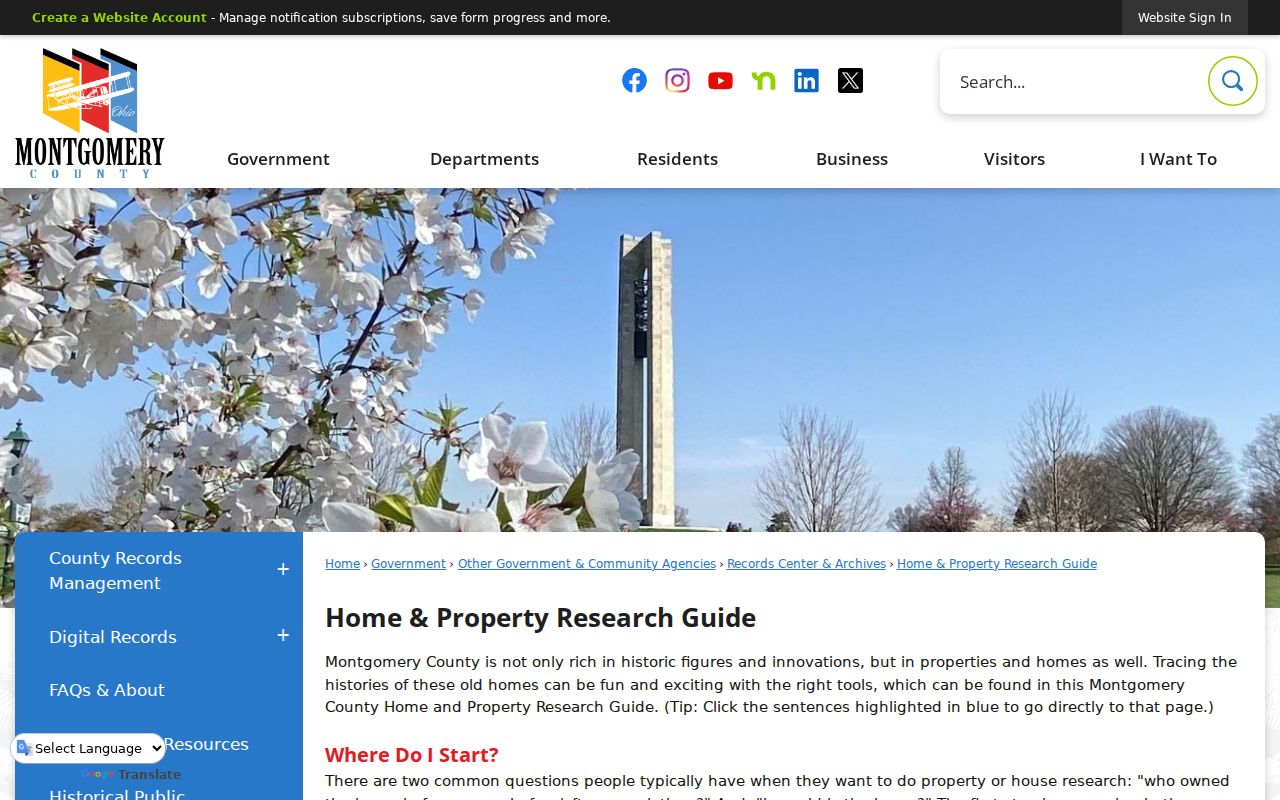
The county guide illustrates why a present parcel record, the recorded deed, and older archive tools must be used as one trail.
- Search MCRealEstate by address and record the legal description and the most-recent sale or deed reference.
- Find that instrument in Recorder RISS, then preserve the grantor, grantee, recording date, instrument or book/page, and legal description.
- Use the seller named on that deed as the next prior-owner lead, then locate that earlier acquisition as a grantee entry.
- Repeat the sequence backward and compare the legal description each time, especially after a subdivision, plat, or street change.
- When the electronic route is thin or conflicting, move to Recorder alphabetical or tract indexes and then the Archives staff-retrieval route.
- Grantor
- The party transferring an interest in the recorded instrument.
- Grantee
- The party receiving that interest. In a backward trail, a prior owner's earlier purchase can be found under that person's grantee entry.
- Chain of title
- The dated sequence of recorded transfers used to follow a parcel or legal description backward.
- Legal description
- The lot, block, subdivision, tract, or township-section-range wording that identifies land more reliably than an old street number.
Montgomery County RISS Record Trails
RISS is the Recorder's online instrument route. Accept its disclaimer and use the Guest index, narrowing a name search by date and document category. An old address may need the stable land description instead. A local insider tip is to use Subdivision, STR, Pre 1980, Book/Page, Instrument, or associated grantor and grantee names when an address changes. All deeds and indexes remain available in person.
| Last/Firm Name | Required text field, up to 70 characters; date criteria can speed a search. |
|---|---|
| Last-name match | Begins With, Contains, or Exactly. |
| First Name | Optional text field, up to 70 characters, with the same match choices. |
| Side(s) | Both, One, or Two. |
| Index Type | Required multi-select with Deeds, Mortgages, Partnerships, UCC, and Service Discharge. |
| Start and End Date | Optional date boundaries for narrowing results. |
| Sort Order | Match, File Date, File Number, or Type, ascending or descending. |
When the web index is not enough, use Recorder public terminals or call its Copy Center at 937-225-6494 for official copies. The office is at 451 W. Third Street, open weekdays 8 a.m. to 5 p.m., and lists mail, walk-in, and e-recording submission channels. Confirm the current copy type and fee with the office.
Montgomery County Cooper Plat Records
Early Dayton research has an address problem that a simple number search cannot solve. Daniel C. Cooper's 1803 plat and 1809 replat mean an early residence may appear as a lot, crossroads, ward, or unnumbered street wording. Do not treat a failed current address search as proof that the earlier property is absent. Compare the historic wording with the legal description, a tract index, an older directory entry, and the county GIS Address Number Grid, annexation, and recorded-plat layers.
The County's Cooper plat history gives the local context for that change in address geography.
The early plat material is a reminder to follow the parcel description and period map, not just a present-day street number.
Note: A street number is a convenient search tool, while a lot, block, subdivision, or township description may be the historical link.
Montgomery County Past Household Trails
A deed chain identifies recorded transfers. It does not by itself identify the people who occupied an address at a given time. For the household layer, pair the land sequence with city directories, the Haines address-first volumes when the needed edition is available, and federal census schedules through 1950. The library's historical directory collections supply period spelling and street clues; the detailed collection work is kept on the Montgomery County city directories page.
- Choose a deed, tax, permit, or directory year that puts the address in a narrow period.
- Record the directory spelling, address wording, and edition details without filling in missing facts.
- Check the nearest public census schedule for household context, treating it as a separate dated record.
- Use the Dayton Obituary and Genealogy Database citation to test a death date, relative, or address clue.
- For an estate endpoint, contact Probate Court or the Archives according to the record date and public availability.
HOBITS is a citation index rather than full obituary text. The Dayton Room accepts a complete citation by history@daytonmetrolibrary.org or 937-463-2665 and limits requests to three at a time. Its shelves, microfilm scanners, appointment route, and open Genealogy Collection provide a library fallback when the needed directory or newspaper is not online.
Montgomery County Archive Evidence
The Montgomery County Records Center and Archives is the historical fallback and reports access to records going back to 1803. Its research area is not a browsing or circulation collection. Staff retrieves material, so prepare the address, date span, names, legal description, and known book/page or instrument details before calling or visiting.
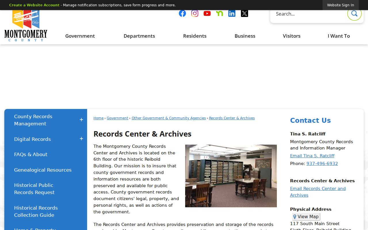
The archive route provides staff retrieval when the current Recorder index or a parcel display does not reach the period needed.
The Historical Records Collection Guide gives series-level detail for sources such as tract records, tax duplicates, and building permits. It is useful for forming a specific request rather than asking staff to search every record series for an address.
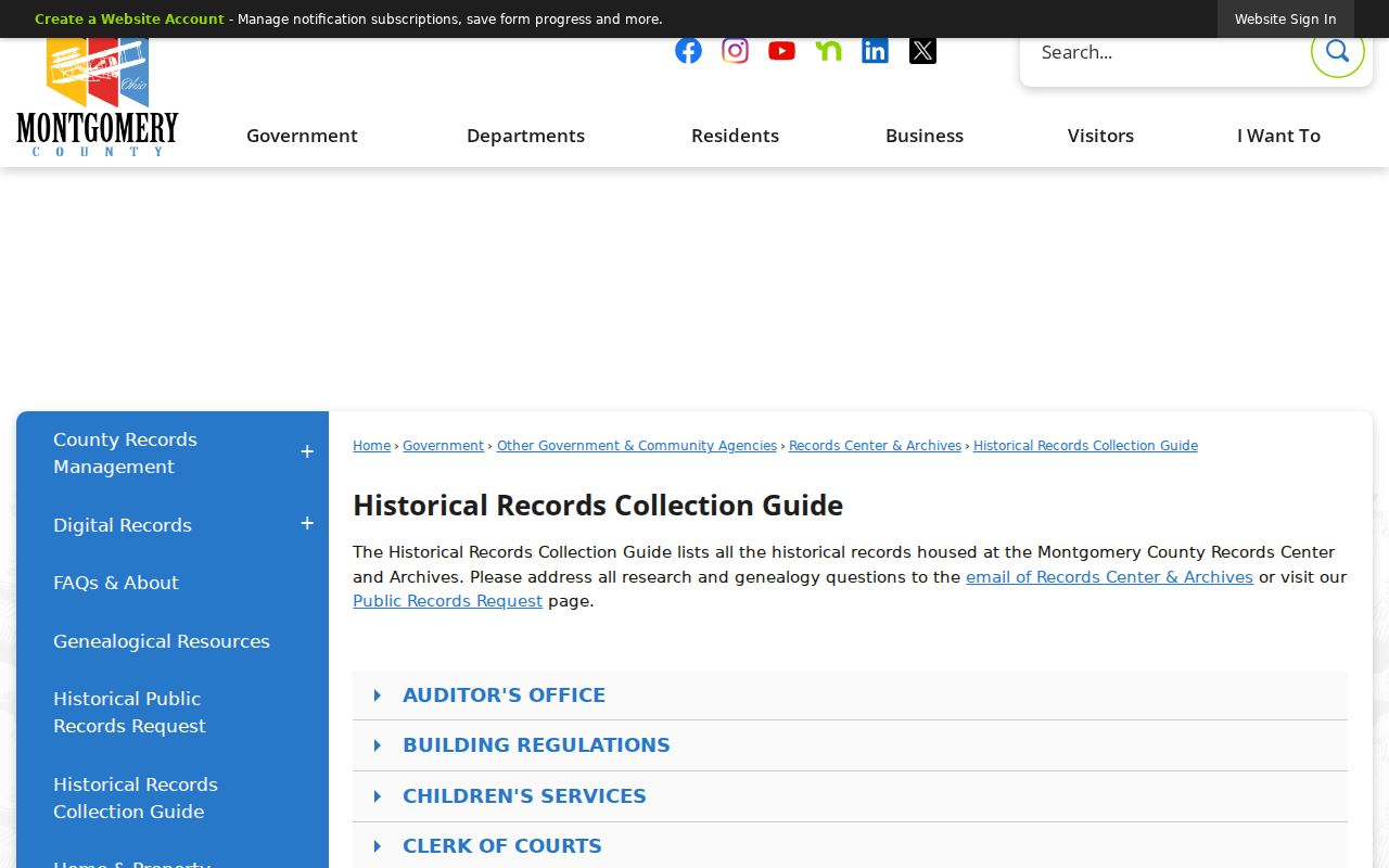
The guide image reinforces the need to match the year and record type to the archive series before requesting retrieval.
The Archives is at 117 S. Main Street, sixth floor, and lists 937-225-6366 with weekday hours of 8 a.m. to 5 p.m. If a needed record is not online, that phone, the staff counter, and a focused public-records request under the Ohio Public Records Act, Ohio Revised Code §149.43 are documented routes.
Montgomery County Historic Imagery Records
Historic imagery dates a structure or visible change, not a person. The County Engineer's GIS resource reports imagery from 1938 to the present. Images from 1938 through 1995 are scanned and georeferenced but are not uniform in scale; post-2000 images are orthorectified. Use that distinction when comparing a roofline, lot division, addition, or street layout with a deed, permit, or period map.
The County Engineer GIS source provides the documented imagery channel.
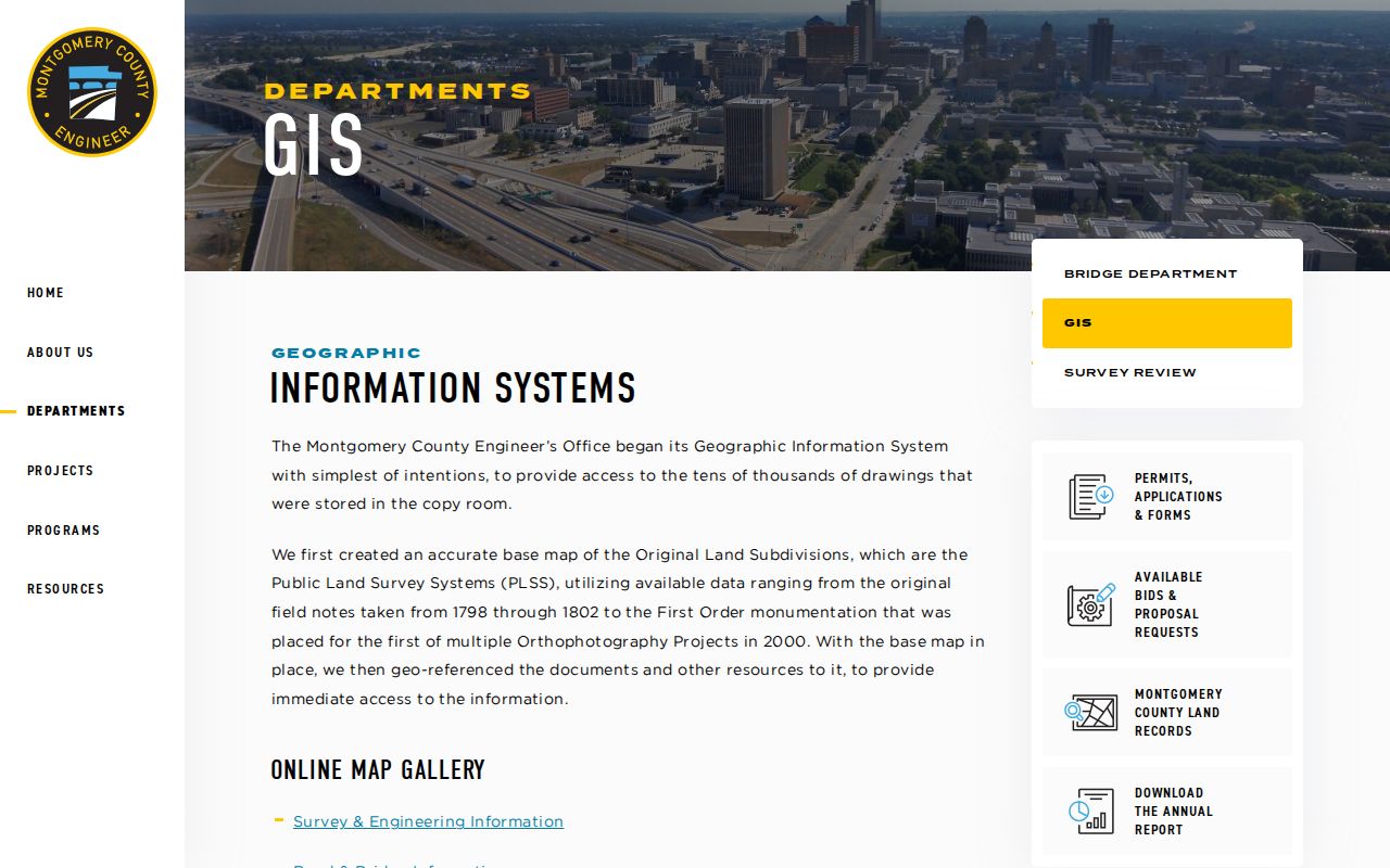
Imagery can help establish when a building or parcel change was visible, but it cannot identify who lived there.
Montgomery County Permit Records
For structure timing, the historical guide lists permits from 1947 through 2002 and a permit-card index from 1947 through 1964. A permit can date work or an inspection, not an occupant. Dayton Building Inspection says permits cannot presently be applied for online during software upgrades, and no verified public address-history search was located.
Use the documented fallback chain: ask Building Regulations or the appropriate municipality for the target address, time span, permits, certificates, inspections, and code matters sought. Dayton's counter is open weekdays from 8:30 a.m. to 4 p.m., and its question line is 937-333-3883. A precise City public-records request is more useful than a broad request when the web search is unavailable.
Montgomery County Previous Residents Limits
Use address history for family history, estate research, property history, and personal reference. It should not be used to track or harass a living person. An absence, redaction, or mismatch may reflect a name change, a record's date boundary, an indexing error, a different custodian, or Ohio Safe at Home protections. The program can shield address information after its statutory process, so protected information must not be pursued through another record source.
Lawful use. Ohio law prohibits menacing by stalking and telecommunications harassment. Keep conclusions tied to the dated record and stop when a record is confidential, sealed, or protected.
When a deed alert or unexpected recorded document raises a property-fraud concern, the Recorder's free Fraud Alert Notification system can send mail, email, or text notices and provides an instrument number for RISS checking. Confirm a suspicious instrument with the Recorder rather than relying on a third-party description. That is a records-verification step, not proof of a prior household.