
Walk Montgomery County Streets
The practical Montgomery County address search starts with the physical address, then moves through records that use different keys. MCRealEstate's address search is the first stop. Enter a street number if known and the street name without a direction or suffix. A street-name-only search can return matching addresses, and the Auditor advises trying variants such as 3rd and Third. Open only the result that matches the location.
Save the parcel ID, situs address, owner or tax-mailing address, legal description, sale information, and deed reference before changing systems. The property summary is evidence of an owner and tax relationship. It is not a list of every person who lives at that address. That distinction keeps a street-by-street search tied to what the public record actually establishes.
- Search the address in MCRealEstate and preserve the parcel and legal-description details.
- Use the owner name or deed reference to locate the recorded instrument in the Recorder index.
- Check the Auditor GIS map for the selected parcel, nearby parcel context, plats, annexations, and the Address Number Grid.
- Use Ohio Secretary of State My Voter Information only for its exact-name, county-based registration and precinct purpose, not as a street roster.
- For earlier address clues, consult the Dayton Room's Haines criss-cross directory and related historic sources.
Note: Keep the legal description with every result because it is the stable bridge when street numbering or municipal lines changed.
Montgomery County Street Directory Workflow
The Auditor provides a public, read-only property system with Address, Owner Name, Parcel, and Advanced Search routes. Its address results can be sorted by Parcel ID, Owner, or Parcel Location, a useful way to work along a named road without treating the result set as a household directory. The tax-year control displayed during research includes Any and 1980 through 2025, plus system years shown by the portal.
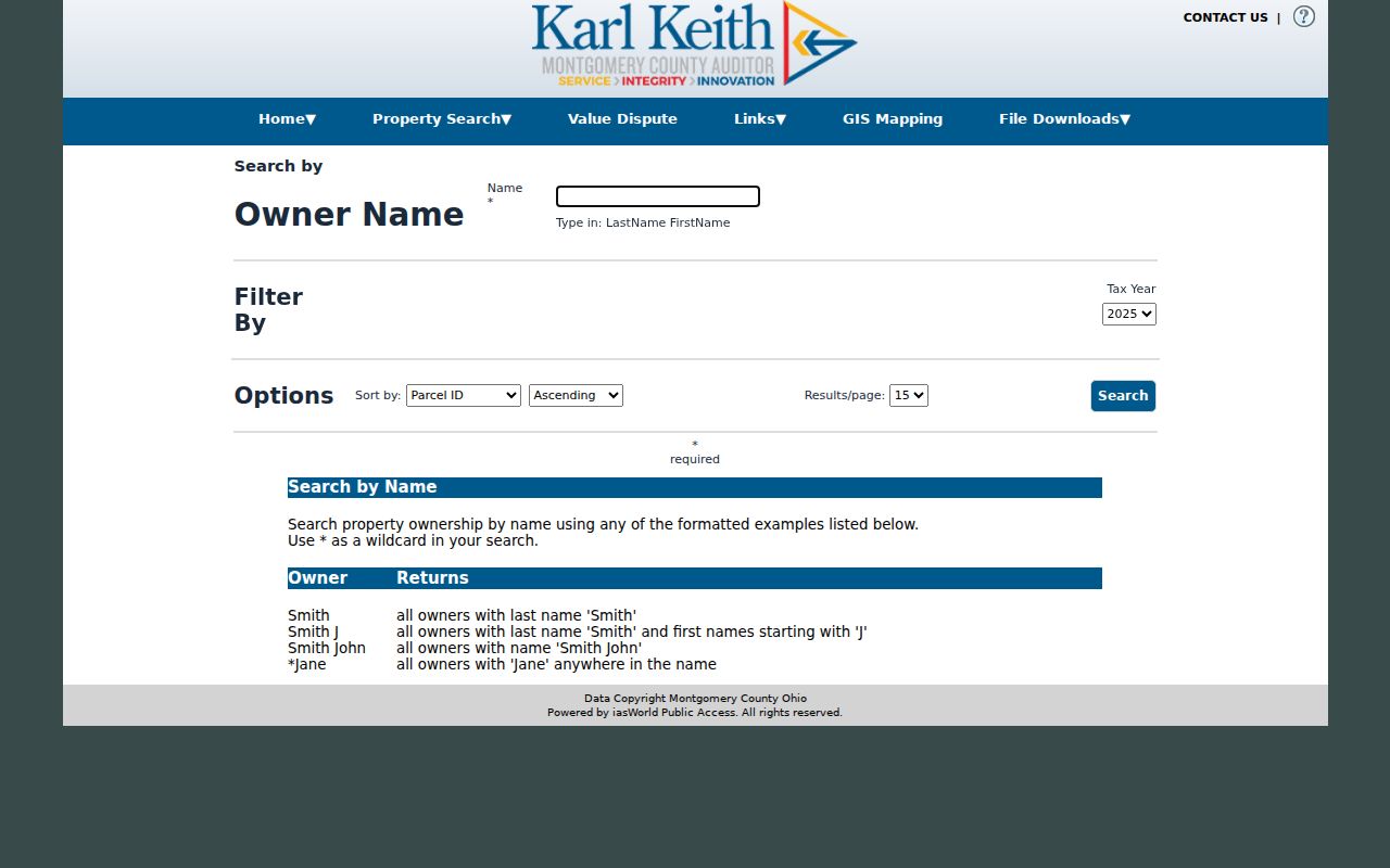
The MCRealEstate owner-name search requires a name in LastName FirstName form and limits the entry to 25 characters. Use it to check a parcel lead found by address, not to leap from a common name to an unrelated property. The image below shows the owner-search route captured for this property-record workflow.
A result summary places ownership and mailing information near the top. The most recent sale identifies its Buyer as the current owner, and an available Deed Reference can lead toward the recorded instrument. Current and delinquent tax figures appear below, with additional property and tax tabs at the side.
- Parcel location or address identifies the selected result.
- Ownership information records the owner relationship shown by the Auditor.
- Mailing address can differ from the physical parcel address.
- Most recent sale identifies the Buyer as the current owner.
- Deed Reference may link to deed evidence when it is available.
- Tax figures include current, delinquent, and installment information.
MCRealEstate Street Search Fields
The official property-search walkthrough is worth using before deciding an address is absent. It instructs searchers to omit St., Street, Ave., Drive, and N, S, E, or W. The Street Name field accepts an asterisk wildcard. The form also lets a searcher sort results and choose a page size, so a longer street result can be reviewed in a repeatable order.
| Field | Input | Required | Montgomery County format |
|---|---|---|---|
| Number | Text | No | Street number only. |
| Street Name | Text | Ordinarily | Leave out direction and suffix; * is accepted. |
| Tax Year | Dropdown | No | Any or 1980 through 2025 in the inspected list. |
| Jurisdiction / City | Dynamic controls | No | Confirm live choices before relying on one boundary. |
| Sort By | Dropdown | No | Parcel ID, Owner, or Parcel Location. |
| Sort Direction | Dropdown | No | Ascending or Descending. |
| Results per Page | Dropdown | No | 10, 15, 20, or 25. |
The official property-search walkthrough below documents the address-result instructions used to begin a Montgomery County address search.
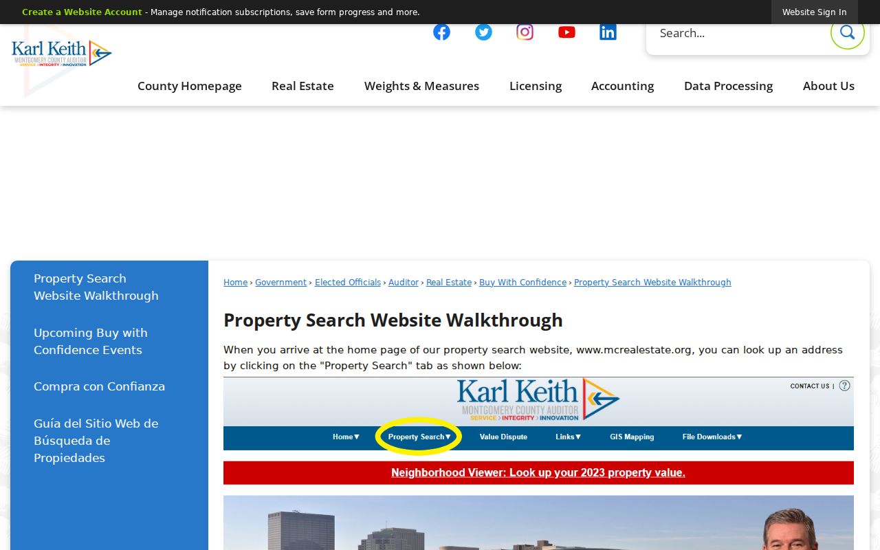
The walkthrough shows why a search should begin with the plain street name and number, then be confirmed against the result location before opening a summary.
The advanced property search adds geographic and property criteria, including Street Name, Street Suffix, Neighborhood, sales data, property characteristics, and parcel data. It is useful for narrowing a Montgomery County address inquiry, but research did not find a verified ZIP filter in that interface.
The advanced-search screen below documents the broader set of property criteria. Use a match from it as a parcel lead, then confirm the record through the Auditor or Recorder.
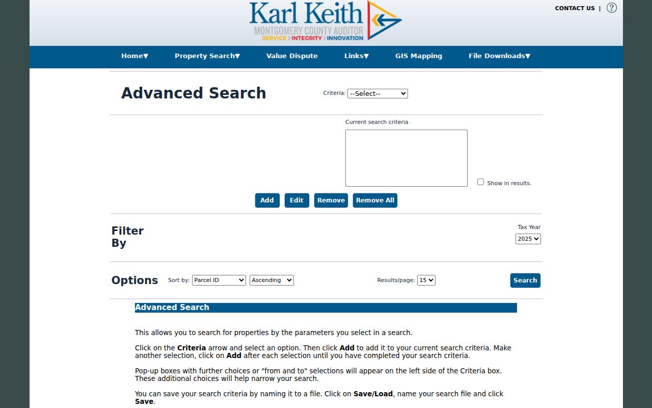
Street-address spelling, number, and parcel geography should agree before an owner or deed reference is carried forward.
GIS for Montgomery County Streets
The Montgomery County Auditor GIS is the spatial part of a by-address search, not ownership proof. Its interactive map has Find Address and Street/Intersection functions, a Zone field, Street controls, Identify, Legend, measurement, and Spatial Select. Search or select the target address, then identify its parcel before looking at surrounding features.
The map's published layers include floodplain, hydrology, soils, annexations, recorded plats, tax districts, neighborhood, Address Number Grid, survey control, and voting geography. These layers help explain why an address can sit near a changed boundary or use an unfamiliar legal description. The Auditor cautions that map information is not warranted error-free, so map context should be checked against the parcel and instrument record.
For a short stretch of road, select one parcel at a time or use a small Spatial Select buffer. Carry each selected parcel to MCRealEstate, then to the Recorder only when the parcel details support the next step. The map can orient a search by street; it cannot identify all occupants of the mapped parcels.
Note: Annexation and plat layers can resolve a location mismatch without changing the legal description recorded for the parcel.
RISS for Montgomery County Streets
Montgomery County Recorder Records Online Search, known as RISS, follows the land-document side of the address process. Accept the disclaimer and use the Guest route. RISS is keyed to named parties, document types, dates, instruments, and legal descriptions rather than a simple street-address field. Begin with the deed reference, legal description, or owner name captured from MCRealEstate.
Its By Name form accepts a required Last/Firm Name of up to 70 characters, optional First Name, Begins With, Contains, or Exactly matching, party side, index types, date limits, and several sort orders. Deeds, Mortgages, Partnerships, UCC, and Service Discharge are among the index-type choices. Adding dates is the county's recommended way to speed a broad name search.
The RISS name-search screen below documents the fields used for the Recorder portion of this Montgomery County address-research route.
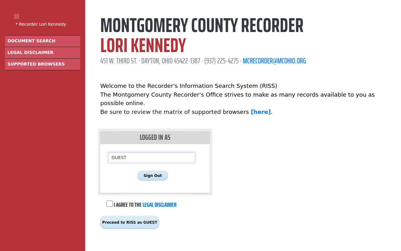
When a street number changes or yields no result, use RISS routes for Municipality, Subdivision, STR, Pre 1980, Book/Page, Instrument, or a grantor and grantee name. Those routes work from the legal-description chain rather than assuming an old street address is the title key.
Montgomery County Address Record Coverage
Each address-keyed source answers a narrower question. Pairing them produces a defensible Montgomery County address trail: the Auditor supplies parcel and owner information, GIS supplies spatial context, RISS supplies recorded instruments, and archival or municipal channels fill gaps. The coverage table separates those functions and their fallbacks.
| Address record | Custodian | Street evidence | Access channel |
|---|---|---|---|
| Parcel and tax card | Auditor MCRealEstate | Owner, mailing and situs address, parcel, taxes, sale and deed reference | Address, owner, parcel, and advanced portal searches |
| Parcel map | Auditor GIS | Parcels, addressing, plats, annexations, and nearby features | Interactive map, Identify, and Spatial Select |
| Recorded instrument | Recorder RISS and counter | Grantor, grantee, instrument, and legal-description trail | Guest index, public terminals, Copy Center, and Recorder counter |
| Historic tax duplicate | Records Center and Archives | Older owner and tax context | 1803-1983 records through staff retrieval |
| Permit or code material | City or applicable municipality | Construction, change, inspection, or code timing | Custodian request when no public history portal is available |
Recorder public terminals add another local channel. The Recorder screen searches online index information by name; the Auditor screen accepts a name, street address, or parcel ID; and the Treasurer screen accepts taxpayer name, parcel ID, or street address for tax figures. For older records, the Records Center and Archives offers staff retrieval instead of casual shelf browsing.
Montgomery County Address Permits
Permit material can date work at a location, but it is not a countywide resident roll. The County public-records routing page sends building permits and certificates of occupancy to Building Regulations. For a Dayton address, the Building Inspection Division describes permits for construction, fire systems, zoning-only work, signs, utilities, HVAC, plumbing, electrical work, and demolition.
Dayton's permit information says online permit applications are unavailable during its software upgrades. No verified public address-searchable permit-history interface was located. The documented fallback is a precise City public-records request naming the address, date span, permits, certificates, inspections, and code matters sought.
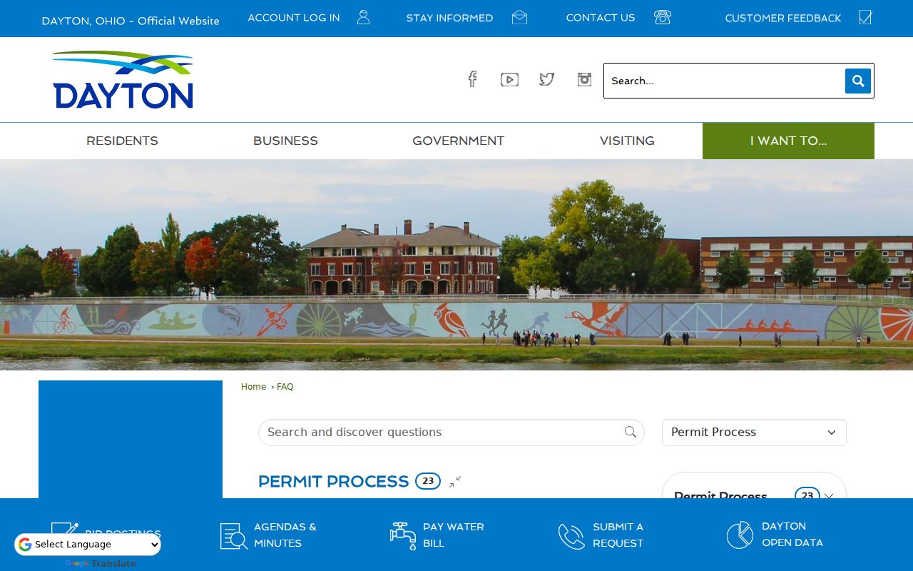
The image reflects the City permit route. It supports an address chronology when paired with parcel, deed, and map evidence, rather than identifying every person at the address.
Montgomery County Street Numbers
Old Dayton addresses deserve a second check. Daniel C. Cooper's 1803 plat and 1809 replat mean an early source may describe a lot, crossroads, ward, or non-numbered street instead of the modern number. The GIS Address Number Grid, annexations, and recorded plats help connect the physical location to its legal setting.
Outside city limits, a township, section, and range description may be more important than a lot and block. Before calling an old address missing, compare a historic plat, the legal description, an older directory wording, and the Recorder tract index. The county's early record trail includes original-owner tract material from 1801 to 1830, tax material from 1803, and deeds from 1805.
- Parcel
- A county property unit used to organize assessment and tax records.
- Situs address
- The physical location assigned to a parcel, which can differ from its tax-mailing address.
- Plat
- A recorded map that shows lots, blocks, streets, and subdivision layout.
- Criss-cross directory
- An address-to-name directory title used to check a particular location in a specific historic edition.
Montgomery County Criss-Cross Addresses
The Dayton Room is the historical address layer for Montgomery County research. Its catalog identifies Haines Dayton City & Suburban Criss-cross Directory as an in-library address-to-name title. Use the volume for the edition year, record exactly what it prints, and compare it with the parcel and deed trail. The public catalog does not expose a complete Haines year run, so ask staff about a target year instead of assuming one exists.
The Dayton Room has local-history material, open genealogy stacks, computers, and microfilm scanners. Historical inquiries can go through its phone, email, or appointment route. For a past occupant lead, the Montgomery County city directories section gives the collection-focused route without confusing it with current address records.
Note: A historic address listing is time-bound evidence, so save the edition, page, spelling, and exact address wording with it.
Street Directory Household Limits
Myth: An owner or tax-mailing entry does not identify every member of a household. MCRealEstate is owner-centered, and its mailing and situs fields may differ for ordinary correspondence reasons. A matching address does not establish that every person at a location is recorded there. Old directories can also omit, abbreviate, or misprint an entry, or give a business or boarding address.
Ohio Secretary of State My Voter Information requires first name, last name, and county. It returns registration, precinct, and polling information for a match, not an open street list. Ohio law also excludes protected registration data, and Ohio Safe at Home can make qualifying voter and property information confidential. An absence or redaction should not be bypassed or treated as a failure by the individual.
Montgomery County Deed Alerts
Insider tip: The Recorder's free Fraud Alert Notification System, or FAN, lets a participant choose mail, email, or text notice when a document is recorded. An alert supplies an instrument number that can be checked in RISS. It is a verification tool, not proof that a document is fraudulent, because routine events such as a mortgage release can also trigger notice.
If a recorded instrument appears wrong, contact the Recorder directly and confirm it in the official record. The Recorder's published materials say a complaint may be reviewed by the Recorder and may proceed to the Prosecutor, with an Affidavit of Facts Relating to Title required for the stated process. This local safeguard is especially useful after a street-directory search leads to a current deed reference.